+91-9911809910
15 reviews
1 Night 2 Days
Rate on request
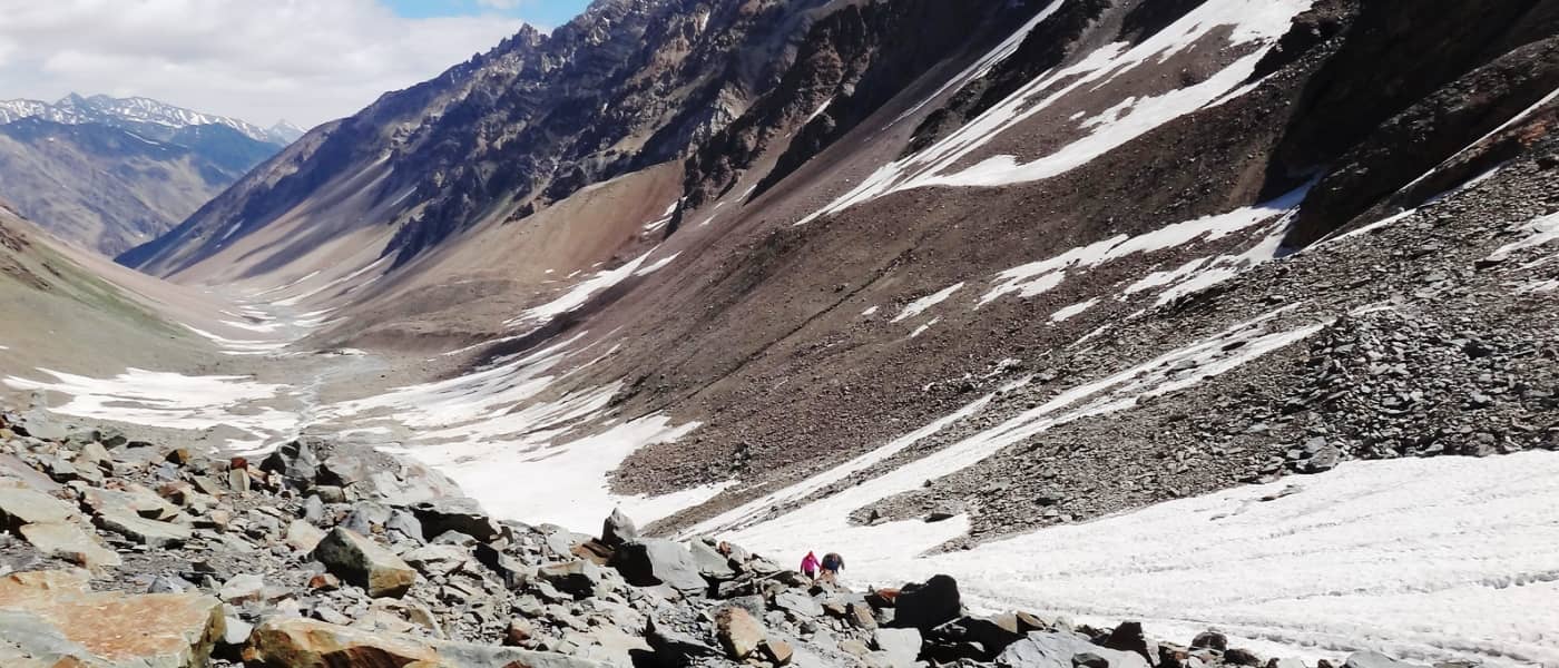
You’ve got a long day ahead. Start early, by taking the trail going to the base of Kyamar Mountain. Cross the stream and re-join the trail coming from Rumtse. From the base of the mountain, walk on the trail that naturally curves left. The green landscape is left behind as you now enter the barren mountainscape of the upper plateau of Kyamar. The trail now gradually climbs up as you approach the base of Kyamar La. A 20 minute hike will have you reach the centre of the valley. From here, take the wide SUV trail on your right. Spot a rocky structure on the trail and cross the structure from its left. You now can see the base of Kyamar La straight ahead of you.Towards your right is Kyamar Nallah, which dries up every summer. There is a lot of distance to cover to reach the Pass. Looking back, observe the Zanskar ranges, especially Mt. Kang Yatse, which looks stunning. It takes an hour to reach the base of the pass. Observe a small bridge made of boulders and stones over Kyamar stream. Cross over and take the trail that winds upward on your right. From here, it’s a steep ascent all the way to the pass. The final section of the ridge is littered with tiny wild flowers. Kyamar Pass is a high altitude gravel saddle. Generally, there is no snow on the pass in summer (July-August). Towards its left is a mountain top, with a temple dedicated to lord Shiva. There are prayer flags at the summit of the pass. The 360 degree view from the pass is mind-boggling.Leaving Kyamar valley behind, take the trail going downwards on the right side of the ridge. It’s a level walk for 15 minutes, after which the descent becomes sharp. Make note of the river bed of Tassa Phu below you. The trail is slippery, with loose gravel. If raining, extra care should be taken while descending. It takes 30-45 minutes to climb down to the river bed.Take the trail going towards your left as you reach the river bed. Cross Taasa Phu. Observe two valleys that open in front of you. Take the one that is on your immediate left. The ascent towards Mandachalan La is a brutal and laborious slog of 950 feet. This section has a healthy presence of Himalayan Ibex, Marmot and Wild hare.The initial section has a gradual ascent till the base of the pass. The climb up to the pass may take anything from two to three hours. The terrain is all dry, with no snow. It does get very hot in noon, so make sure to stay hydrated and not over-exert yourself. Expect the temperature to be around 35 degree Celsius on a sunny day. Mandachalan Pass is well-marked with cairns and prayer flags. The view from the top is a notch better than Kyamar La. Observe the connecting ridge, below which lies Tisaling, your destination for the day. Towards the north, the high peaks of Pangong region watch over the valley.Go ahead on the right side of the ridge into a bowl-shaped valley. The trail is a level-walk of 2 kilometres. It leads all the way towards the summit of an un-named pass. From the pass, look for the green camping ground of Tisaling below. Feel free to break trail and descend towards the camping ground at Tisaling.You will have to cross the stream and the marshland for a suitable spot for camping just at the base of Shibuk La. Tisaling is beautiful high altitude grassland between Mandachalan and Tisaling Passes.
It is highly recommended that you rest for a day at Leh to acclimatise (not only during this trek, but during any trek in Ladakh). Walk around within Leh to get yourself better acclimatised. This should be taken more seriously by those planning to reach Leh via flight. At any point, do not attempt to start the trek if you feel unwell. Note that one can also choose to head to Rumtse on Day 2 and spend one night there for acclimatisation purpose. Rumtse has camping grounds where one can pitch tents. One can also opt for local home stays by paying anything from Rs. 400 onwards for a room. Just one kilometre ahead of Rumtse is Jammu & Kashmir Tourism Lodge, towards the left of the Manali-Leh road. One can choose to stay there as well.
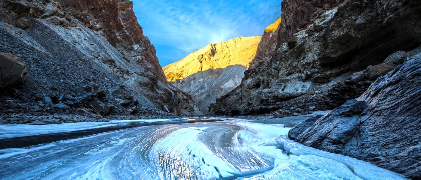
Rumtse is 79 km from Leh. It takes around 2-3 hours to get there on the Leh-Manali road. It’s a pleasant journey with great views of the Indus Valley and monasteries of Hemis, Thiksey, etc. Rumtse is a small village. It lies in Rupshi, which is a valley sandwiched between Zanskar, Tibet and Ladakh. The local monastery near Rumtse, Gya, has as many as 108 stupas and is over 700 years old. Being in close proximity from where the Changthang plateau begins, it is the base camp for treks to Tso Kar and Tso Moreriri Lake. Walk down for a kilometre on the Leh-Manali highway from the Rumtse local market. Take the trail towards your left. Pass by J&K Tourism lodge and hike alongside the Chhaba Chu stream, which will flow on your left.After 10 minutes, spot a steel bridge. Cross the bridge with the stream on your left and keep left, along a small plateau. The dusty trail will eventually take a U-turn as you leave Chhaba Chu and enter Kyamar valley. This point is a confluence of Kyamar stream and Chhabu Chu. Leaving behind Chhabu Chu, look for multiple rivulets. These are small streams and can easily be crossed.After 20 minutes of level walk, make note of large green marshes on your right, suitable for camping. Here, cross the stream and take the trail going left. The walk to Kyamar campsite is easy and over relatively flat terrain. The altitude gain for the day is roughly 1,224 feet (373 metres) only. The trail swirls inward along the natural scope of the valley. A hike of 30 minutes will lead to a change in landscape. The green marshes give way to gravel. There is a small gradual ascent over a rocky spur. After 10 minutes, you will reach the base of this plateau. From here, observe a 3 way opening of the valley. Take the widest valley in front of you. This is the logical trail going to the grazing grounds of Kyamar. After walking for 30 minutes, the green marshes will re-appear along Kyamar stream.The river basin remains on your right. The Changpa nomads are known to camp here during summer. The trail to Kyamar can also be covered in an SUV. The Kyamar valley is wide with vast marshlands. You will be required to cross the stream towards the right and then back to the left side as per the trail in front of you. The stream-crossing can be negotiated easily. This section of the valley will take 45-60 minutes to traverse. Ahead of you, observe the highest mountain with snow on its summit. The Kyamar grazing grounds are located at the base of this summit. It will take around 3o minutes to reach the base of this mountain. From here, one can see the beginning of Kyamar green pasture land. It is advisable to trek towards the end point of these grounds.The final section of the trek will take 45-60 minutes. Look for a suitable camping spot next to the stream, which is on the right side of the trail. Kyamar’s grounds are surrounded by beautiful rocky hills on three sides of the valley.
For more information
Connect to Tour Expert at +919911809910
For more information
Connect to Tour Expert at +919911809910
For more information
Connect to Tour Expert at +919911809910